|
|
| 116 MORLAKE DR SUITE 203 |
|
| MOORESVILLE , NC 28117 |
|
| Property
Location Address |
|
| Parcel
Ref No. |
100902015 |
| PIN |
030202098300 |
| Account
No. |
1198790 |
| Tax
District |
TOWN LUMBERTON |
| Land
Use Code |
C-80 |
| Land
Use Desc |
WAREHOUSES |
| Subdiv
Code |
|
| Subdiv
Desc |
|
| Neighborhood |
32C14 |
|
| Legal
Desc |
A S/S HWY 211 DBA AGRI SU |
| |
PPLY |
| Deed
Bk/Pg |
02173 / 0640 |
| Plat
Bk/Pg |
/ |
| |
Sales
Information |
| Grantor |
2175 ROBERTS AVE LLC |
| |
|
| Sold
Date |
2019-04-16 |
| Sold
Amount $ |
981,000 |
|
| Market Value $ |
1,338,400 |
Market
Value - Land and all permanent improvements,
if any, effective January 1, 2010, date
of County’s most recent General Reappraisal
|
|
| Assessed Value $ |
1,338,400 |
If
Assessed Value not equal Market Value then
subject parcel designated as a special
class -agricultural, horticultural, or
forestland and thereby eligible for taxation
on basis of Present-Use and/or reduction
from a formal appeal procedure
|
|
| Map Acres |
3.23 |
| Tax District Note |
|
| Present-Use Info |
|
|
| (1st
Major Improvement on Subject
Parcel) |
| Year
Built |
1973 |
| Built
Use/Style |
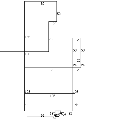
OFFICE BLDG L/R 1-4S |
| Current
Use |
C / |
| * Percent
Complete |
100 |
| Heated
Area (S/F) |
33,275 |
| ** Bathroom(s) |
0 Full Bath(s) 0 Half Bath(s) |
| ** Bedroom(s) |
0 |
| Fireplace
(Y/N) |
N |
| Basement
(Y/N) |
N |
| Attached
Garage (Y/N) |
N |
| *** Multiple
Improvements |
002 |
*
Note - As of January 1
*
* Note - Bathroom(s), Bedroom(s), shown for description
only
* * * Note - If multiple improvements equal “MLT” then
parcel includes additional major improvements |
|
| Improvement
Valuation (1st
Major Improvement on Subject Parcel) |
* Improvement
Market Value $ |
** Improvement
Assessed Value $ |
823,400 |
823,400 |
*
Note - Market Value effective Date equal January
1, 2010, date of County’s most recent General
Reappraisal
** Note - If Assessed Value not equal Market Value
then variance resulting from formal appeal procedure |
|
| Land
Value Detail (Effective Date January 1, 2010,
date of County’s most recent General Reappraisal) |
Land Market Value (LMV) $ |
Land Present-Use Value (PUV)
$ ** |
Land Total Assessed Value
$ |
515,000 |
515,000 |
515,000 |
| **
Note: If PUV equal LMV then parcel has
not qualified for present use program |
|
|