|
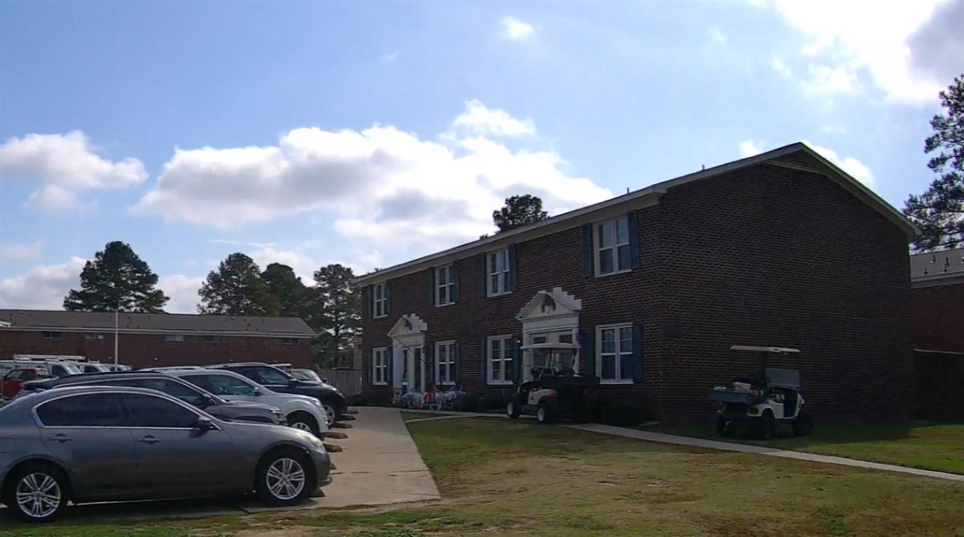
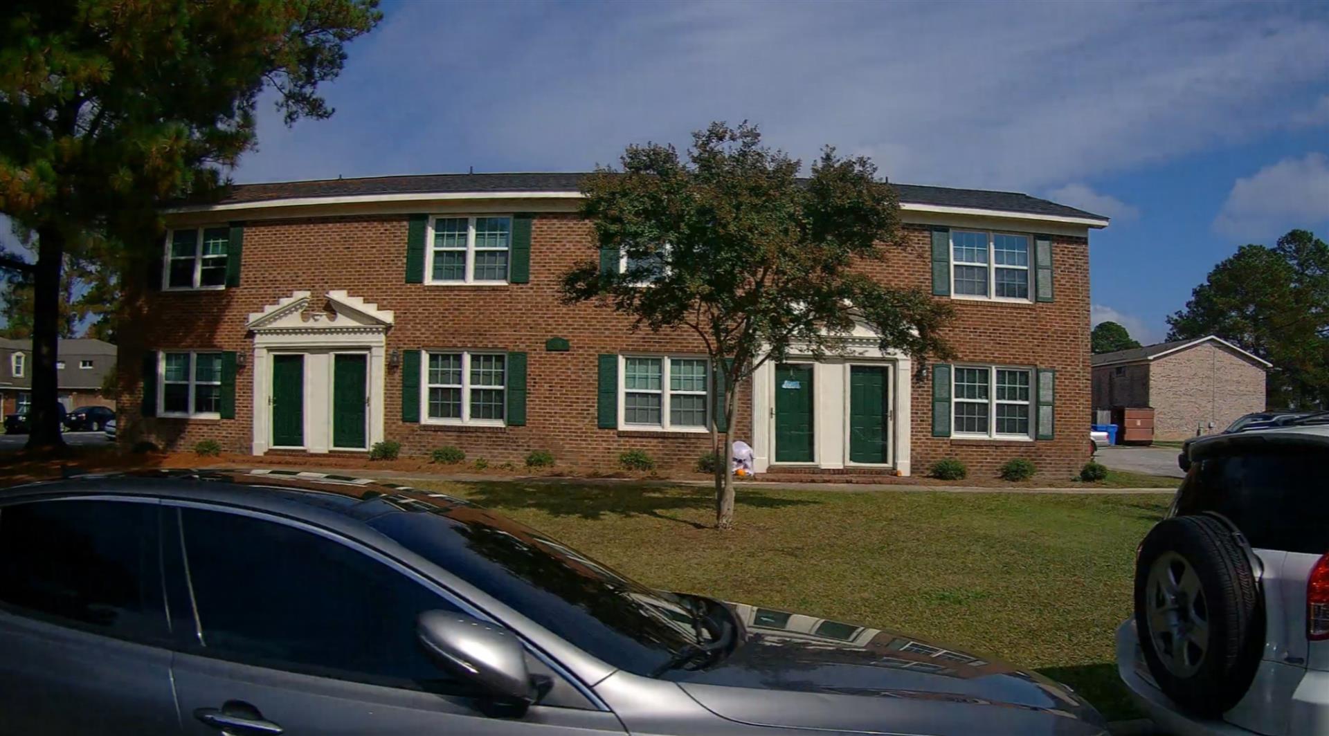
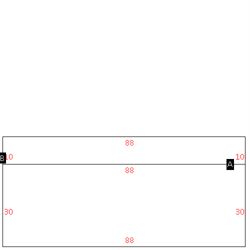
(Building 1) - Sketch for Parcel ID: 3722291771.000
NOTE: Sketches are updated the first day of every month.
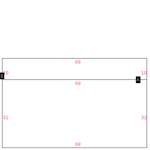 |
| Label |
Description |
Base SF |
Total SF |
| A |
APT-TOWNHOUSE |
2176.00 |
4352.00 |
| B |
PATIO-CONC |
680.00 |
.00 |
|
|
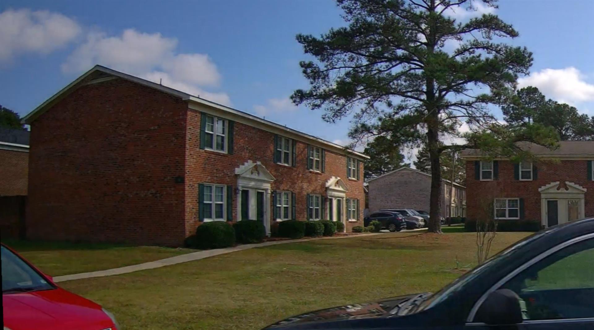
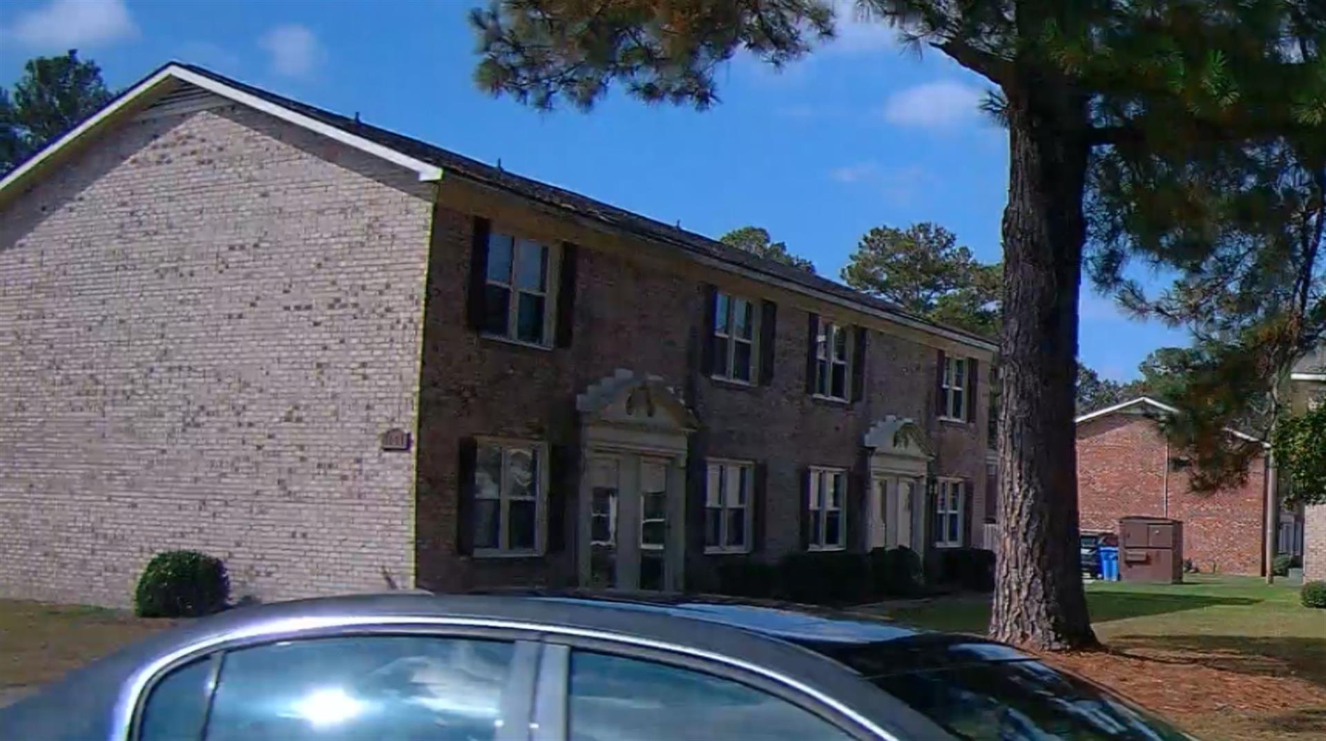
(Building 2) - Sketch for Parcel ID: 3722291771.000
NOTE: Sketches are updated the first day of every month.
 |
| Label |
Description |
Base SF |
Total SF |
| A |
APT-TOWNHOUSE |
2176.00 |
4352.00 |
| B |
PATIO-CONC |
680.00 |
.00 |
|
|
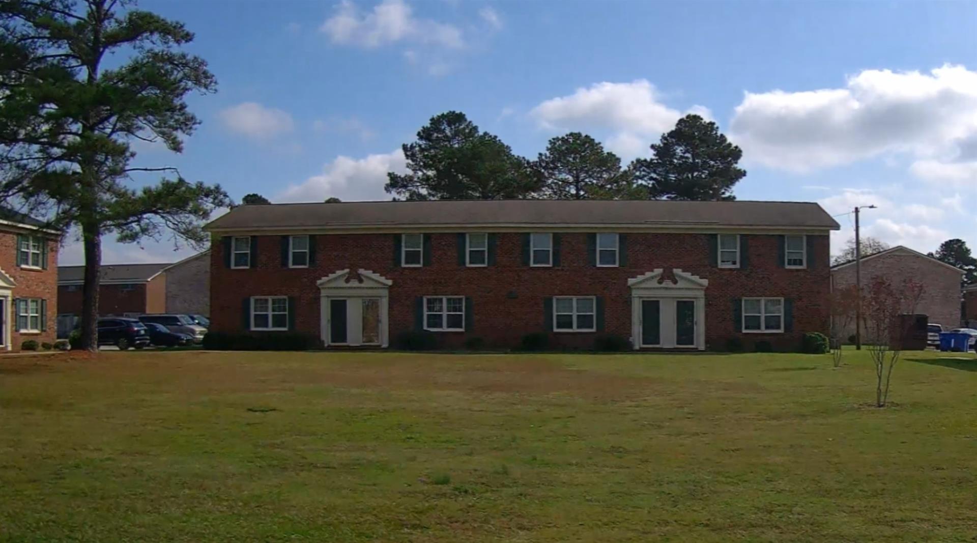
(Building 3) - Sketch for Parcel ID: 3722291771.000
NOTE: Sketches are updated the first day of every month.
 |
| Label |
Description |
Base SF |
Total SF |
| A |
APT-TOWNHOUSE |
2176.00 |
4352.00 |
| B |
PATIO-CONC |
680.00 |
.00 |
|
|
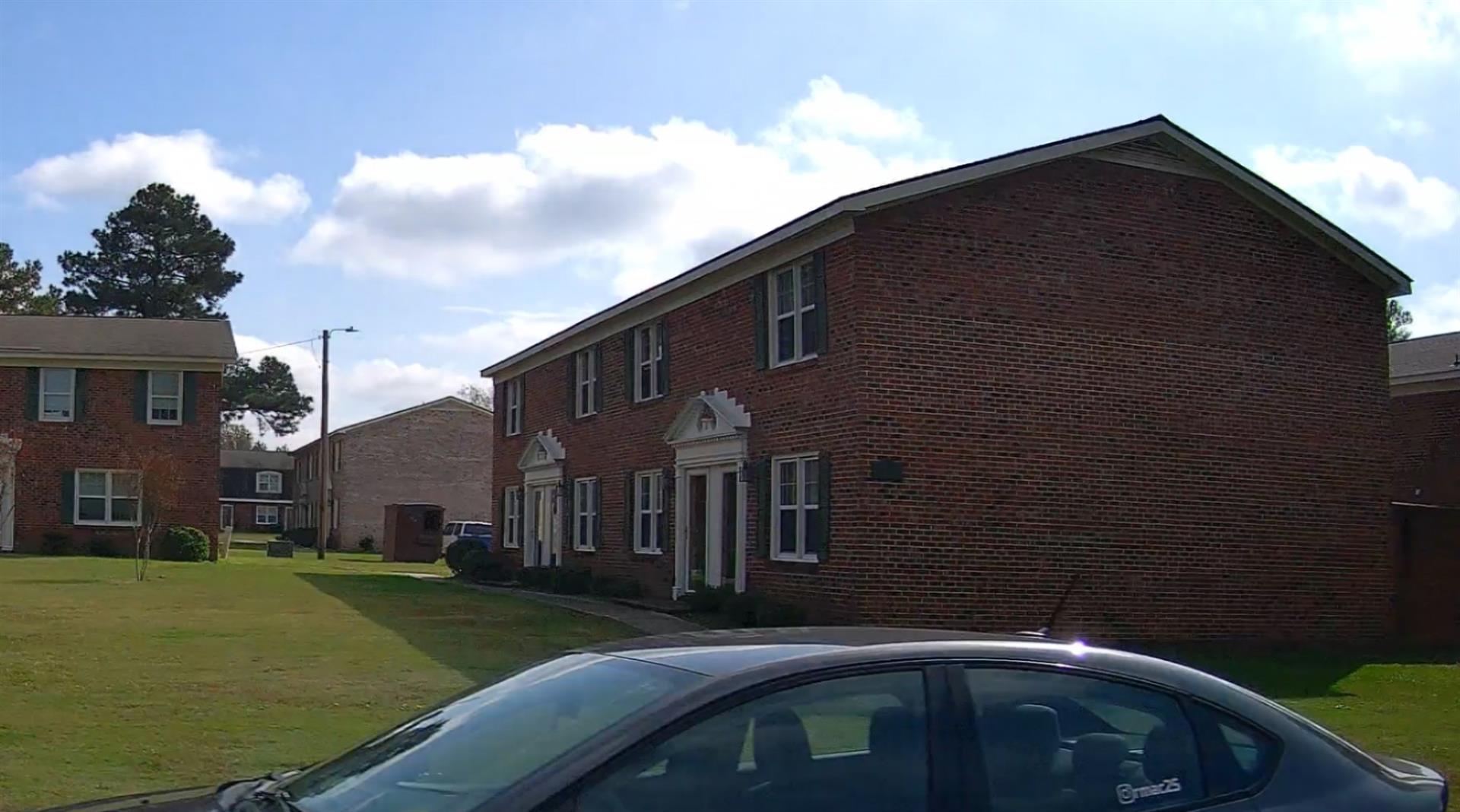
(Building 4) - Sketch for Parcel ID: 3722291771.000
NOTE: Sketches are updated the first day of every month.
 |
| Label |
Description |
Base SF |
Total SF |
| A |
APT-TOWNHOUSE |
2176.00 |
4352.00 |
| B |
PATIO-CONC |
680.00 |
.00 |
|
|
(Building 5) - Sketch for Parcel ID: 3722291771.000
NOTE: Sketches are updated the first day of every month.
 |
| Label |
Description |
Base SF |
Total SF |
| A |
APT-TOWNHOUSE |
2176.00 |
4352.00 |
| B |
PATIO-CONC |
680.00 |
.00 |
|
|
(Building 6) - Sketch for Parcel ID: 3722291771.000
NOTE: Sketches are updated the first day of every month.
 |
| Label |
Description |
Base SF |
Total SF |
| A |
APT-TOWNHOUSE |
3264.00 |
6528.00 |
| B |
PATIO-CONC |
1020.00 |
.00 |
|
|
(Building 7) - Sketch for Parcel ID: 3722291771.000
NOTE: Sketches are updated the first day of every month.
 |
| Label |
Description |
Base SF |
Total SF |
| A |
APT-TOWNHOUSE |
2176.00 |
4352.00 |
| B |
PATIO-CONC |
680.00 |
.00 |
|
|
(Building 8) - Sketch for Parcel ID: 3722291771.000
NOTE: Sketches are updated the first day of every month.
 |
| Label |
Description |
Base SF |
Total SF |
| A |
APT-TOWNHOUSE |
2640.00 |
5280.00 |
| B |
PATIO-CONC |
880.00 |
.00 |
|
|
(Building 9) - Sketch for Parcel ID: 3722291771.000
NOTE: Sketches are updated the first day of every month.
 |
| Label |
Description |
Base SF |
Total SF |
| A |
APT-TOWNHOUSE |
2640.00 |
5280.00 |
| B |
PATIO-CONC |
880.00 |
.00 |
|
|
(Building 10) - Sketch for Parcel ID: 3722291771.000
NOTE: Sketches are updated the first day of every month.
 |
| Label |
Description |
Base SF |
Total SF |
| A |
APT-TOWNHOUSE |
2176.00 |
4352.00 |
| B |
PATIO-CONC |
680.00 |
.00 |
|
|
(Building 11) - Sketch for Parcel ID: 3722291771.000
NOTE: Sketches are updated the first day of every month.
 |
| Label |
Description |
Base SF |
Total SF |
| A |
APT-TOWNHOUSE |
2176.00 |
4352.00 |
| B |
PATIO-CONC |
680.00 |
.00 |
|
|
(Building 12) - Sketch for Parcel ID: 3722291771.000
NOTE: Sketches are updated the first day of every month.
 |
| Label |
Description |
Base SF |
Total SF |
| A |
LODGE |
1260.00 |
1260.00 |
|
|
|