|
|
| 4806 GLEN EAGLES LN N |
|
| WILSON , NC 27896-9134 |
|
| Property
Location Address |
|
| Parcel
ID No. |
3732324113.000 |
| PIN |
3732 32 4113 000 |
| Owner ID |
1112883 |
| |
|
| Tax
District |
31 - C/CIWI-WILSON |
| |
| Land Use Code |
48 |
| Land Use Desc |
WAREHOUSE |
| |
|
| Neighborhood |
8377 - WILSON_EAST_I-2 |
|
| Legal
Desc |
2328 WOMBLE BROOKS RD E |
| |
12.18AC |
| |
|
| Deed
Year Bk/Pg |
2018 - 2742 / 120 |
| Plat
Bk/Pg |
39 / 169 |
| |
Sales
Information |
| |
| Grantor |
GREENLEAF AUTO RECYCLERS LLC |
| |
|
| Sold
Date |
2018-05-08 |
| Sold
Amount $ |
575,000 |
|
| |
| Market Value $ |
783,952
|
| |
|
Market
Value - Land and all permanent improvements,
if any, effective January 1, 2024, date
of County’s most recent General Reappraisal
|
|
| |
|
| Assessed Value $ |
783,952
|
| |
If
Assessed Value not equal Market Value then
subject parcel designated as a special
class -agricultural, horticultural, or
forestland and thereby eligible for taxation
on basis of Present-Use.
|
|
|
| Year
Built |
1997 |
| Built
Use/Style |
WAREHOUSE |
| Grade |
D+10 / |
| * Percent
Complete |
100 |
| Heated
Area (S/F) |
18,139 |
| Fireplace
(Y/N) |
N |
| Basement
(Y/N) |
N |
| ** Bedroom(s) |
0 |
| ** Bathroom(s) |
0 Full Bath(s) 0 Half Bath(s) |
| *** Multiple
Improvements |
001 |
*
Note - As of January 1
*
* Note - Bathroom(s), Bedroom(s), shown for description
only
* * * Note - If multiple improvements equal “MLT” then
parcel includes additional major improvements |
|
| Photo |
Photo 1
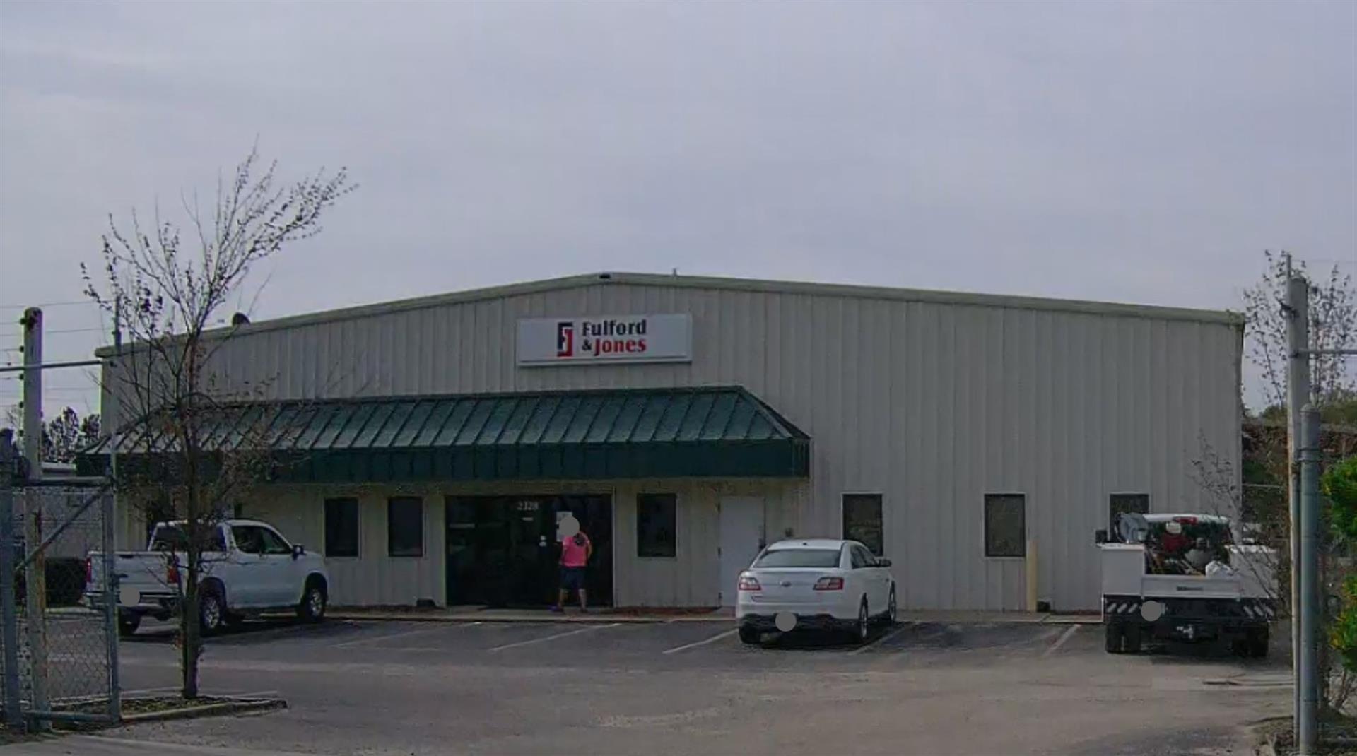
|
|
| Building
Sketch - NOTE: Sketches are updated the first day of every month. |
|
(Building 1) - Sketch for Parcel ID: 3732324113.000
NOTE: Sketches are updated the first day of every month.
 |
| Label |
Description |
Base SF |
Total SF |
| A |
WHSE |
9152.00 |
9152.00 |
| B |
OFFICE BUILDING |
2848.00 |
4187.00 |
| D |
WHSE |
4800.00 |
4800.00 |
| E |
CANOPY W/ SLAB |
1500.00 |
.00 |
| F |
CANOPY-ROOF ONLY |
220.00 |
.00 |
|
|
|
|
|
| Map Acres |
12.18 |
| Tax District Note |
31 - C/CIWI-WILSON |
| Present-Use Info |
WAREHOUSE |
| Zoning Code |
HI |
| Zoning Desc |
HEAVY INDUSTRIAL |
|
| Total Improvements Valuation
|
*Total Improvements Full Market Value $
|
**Total Improvements Assessed Value
|
704,368
|
704,368
|
*
Note - Market Value effective Date equal January 1, 2024, date of County’s most recent General
Reappraisal
** Note - If Assessed Value not equal Market Value then variance
resulting from formal appeal procedure |
|
| Land
Value Detail (Effective Date January 1, 2024, date
of County’s most recent General Reappraisal) |
Land
Full Value (LFV) $
|
Land
Present-Use Value (PUV) $ **
|
Land
Total Assessed Value $
|
79,584
|
79,584
|
79,584
|
| **
Note: If PUV equal LMV then parcel has
not qualified for present use program |
|
| Land
Detail (Effective Date January 1, 2024, date of County’s
most recent General Reappraisal) |
Rate Type |
Rate Code |
Description |
Quantity |
SF |
0600 |
INDUSTRIAL |
530560.800 |
|
|
|
.000 |
|
|
|
|
