|
|
| PO BOX 4 |
|
| BLACK CREEK , NC 27813 |
|
| Property
Location Address |
|
| Parcel
ID No. |
3618488417.000 |
| PIN |
3618 48 8417 000 |
| Owner ID |
128059550 |
| |
|
| Tax
District |
2 - C/CIBC/FRBC-BLACK CREEK |
| |
| Land Use Code |
50 |
| Land Use Desc |
RURAL HOMESITE |
| |
|
| Neighborhood |
8029 - BLACK_CREEK_R-15 |
|
| Legal
Desc |
100 CHURCH ST |
| |
L1L2L5 12.48AC |
| |
|
| Deed
Year Bk/Pg |
2013 - 2518 / 712 |
| Plat
Bk/Pg |
27 / 247 |
| |
Sales
Information |
| |
| Grantor |
|
| |
|
| Sold
Date |
0--0 |
| Sold
Amount $ |
0 |
|
| |
| Market Value $ |
547,391
|
| |
|
Market
Value - Land and all permanent improvements,
if any, effective January 1, 2024, date
of County’s most recent General Reappraisal
|
|
| |
|
| Assessed Value $ |
520,528
|
| |
If
Assessed Value not equal Market Value then
subject parcel designated as a special
class -agricultural, horticultural, or
forestland and thereby eligible for taxation
on basis of Present-Use.
|
|
|
| Year
Built |
2013 |
| Built
Use/Style |
SFR-UPTO 2.0 STY |
| Grade |
B / B GRADE |
| * Percent
Complete |
100 |
| Heated
Area (S/F) |
3,066 |
| Fireplace
(Y/N) |
Y |
| Basement
(Y/N) |
N |
| ** Bedroom(s) |
4 |
| ** Bathroom(s) |
2 Full Bath(s) 1 Half Bath(s) |
| *** Multiple
Improvements |
001 |
*
Note - As of January 1
*
* Note - Bathroom(s), Bedroom(s), shown for description
only
* * * Note - If multiple improvements equal “MLT” then
parcel includes additional major improvements |
|
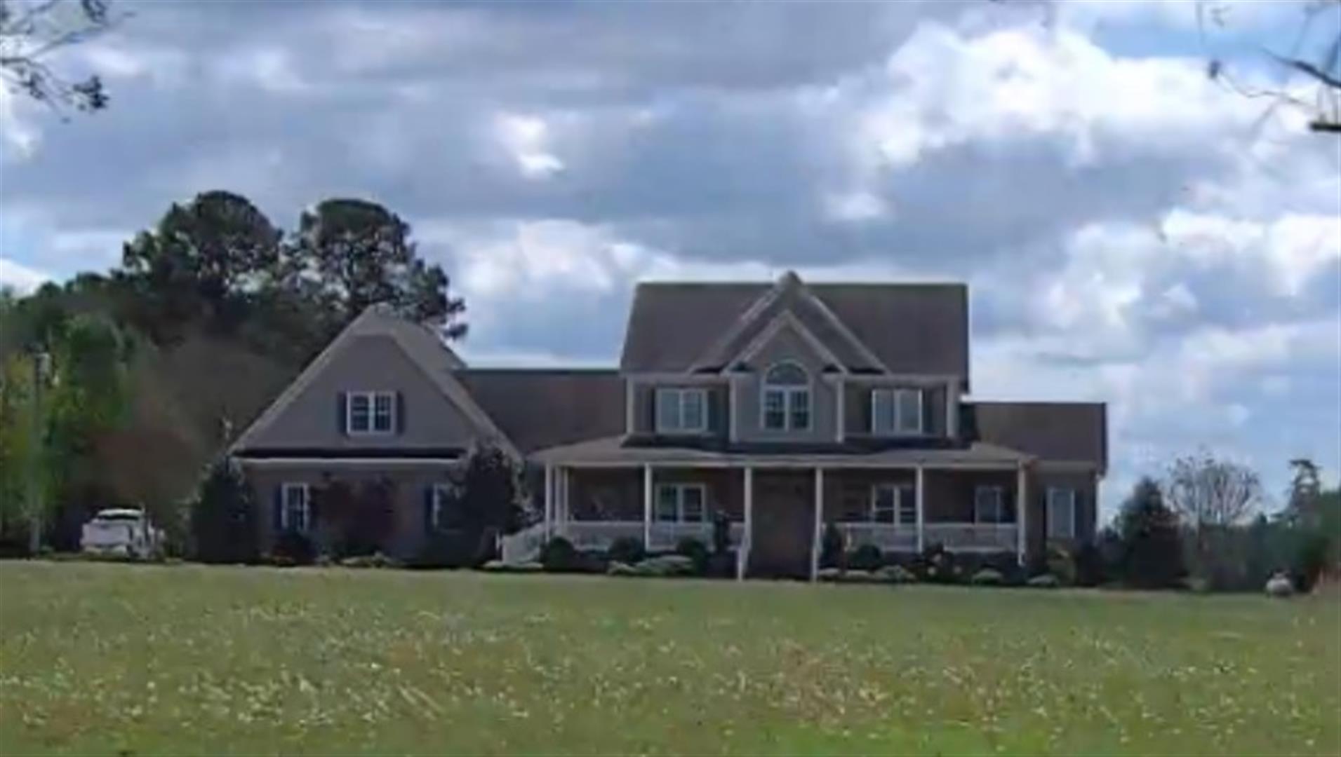
| Photo |
Photo 1
|
|
| Building
Sketch - NOTE: Sketches are updated the first day of every month. |
|
(Building 1) - Sketch for Parcel ID: 3618488417.000
NOTE: Sketches are updated the first day of every month.
 |
| Label |
Description |
Base SF |
Total SF |
| A |
SFR-2.0 STY |
2044.00 |
3066.00 |
| B |
PORCH-SCR-MAS |
190.00 |
.00 |
| C |
PORCH-OPEN-MAS |
564.00 |
.00 |
| E |
GARAGE-ATT-FR |
1155.00 |
.00 |
|
|
|
|
|
| Map Acres |
12.48 |
| Tax District Note |
2 - C/CIBC/FRBC-BLACK CREEK |
| Present-Use Info |
RURAL HOMESITE |
| Zoning Code |
R15 |
| Zoning Desc |
MULTI FAM RES DIST 15M SF |
|
| Total Improvements Valuation
|
*Total Improvements Full Market Value $
|
**Total Improvements Assessed Value
|
478,819
|
478,819
|
*
Note - Market Value effective Date equal January 1, 2024, date of County’s most recent General
Reappraisal
** Note - If Assessed Value not equal Market Value then variance
resulting from formal appeal procedure |
|
| Land
Value Detail (Effective Date January 1, 2024, date
of County’s most recent General Reappraisal) |
Land
Full Value (LFV) $
|
Land
Present-Use Value (PUV) $ **
|
Land
Total Assessed Value $
|
68,572
|
41,709
|
41,709
|
| **
Note: If PUV equal LMV then parcel has
not qualified for present use program |
|
| Land
Detail (Effective Date January 1, 2024, date of County’s
most recent General Reappraisal) |
Rate Type |
Rate Code |
Description |
Quantity |
AC |
5010 |
RURAL HOMESITE PAVED |
1.000 |
|
|
|
.000 |
AC |
5111 |
MKT OPEN LD PVD CLASS 1 |
7.580 |
LU |
5110 |
|
7.580 |
AC |
5311 |
MKT OPEN LD PVD CLASS 3 |
3.900 |
LU |
5310 |
|
3.900 |
|
|
|
|
